Topographical (Land) Surveys

Geomatic Surveys Ltd. provide a wide range of Topographical Survey services.

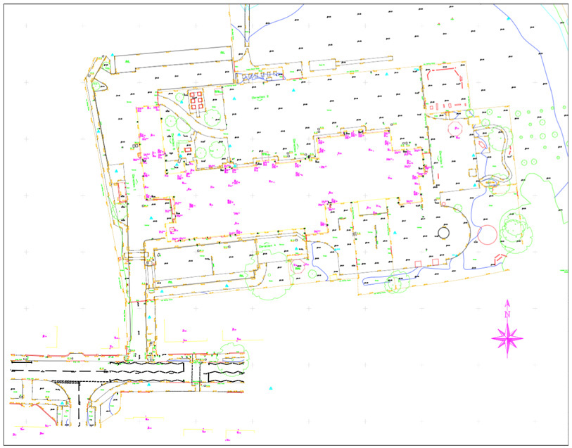
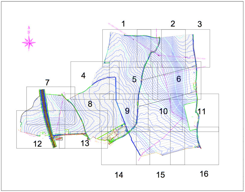
A Topographical Survey is vital for the design and planning process of a site and can range in size from a garden to a large multi acre commercial / industrial site.

A typical survey will measure all topographical features on the site such as buildings, roads, trees, utility covers, boundary features etc. The survey can be specifically tailored to the requirements of the client.

Topographical Survey Services Include

  • As-built Surveys
  • Boundary Surveys and Disputes
  • Area and Volume Calculations
  • Cut and Fill Analysis
  • Digital Terrain Models
  • GPS Control Surveys
  • Land Registry Surveys
  • Monitoring Surveys
  • Highway Surveys
  • Quarry Face Surveys
  • River and Flood Risk Surveys
  • Tree Surveys

Final Deliverables Include

2D AutoCAD Drawing

3D AutoCAD Drawing

Paper Plots

PDF

ASCII File

X,Y,Z File

MOSS Genio

Other Format

for specific software, such as E57 Files

Geomatic Surveys Ltd continue to invest in the latest Trimble Robotic Instruments, GNSS (GPS/GLONASS) Receivers and Laser Scanners along with industry specialised 3D/DTM Software to produce the most accurate, high quality and detailed survey drawings available.

Call us today on T: 01625 521 405   |   E: enquiries@geomaticsurveys.co.uk